Westfield Plantation (Number 5 and Number 9 on the Map) |
|
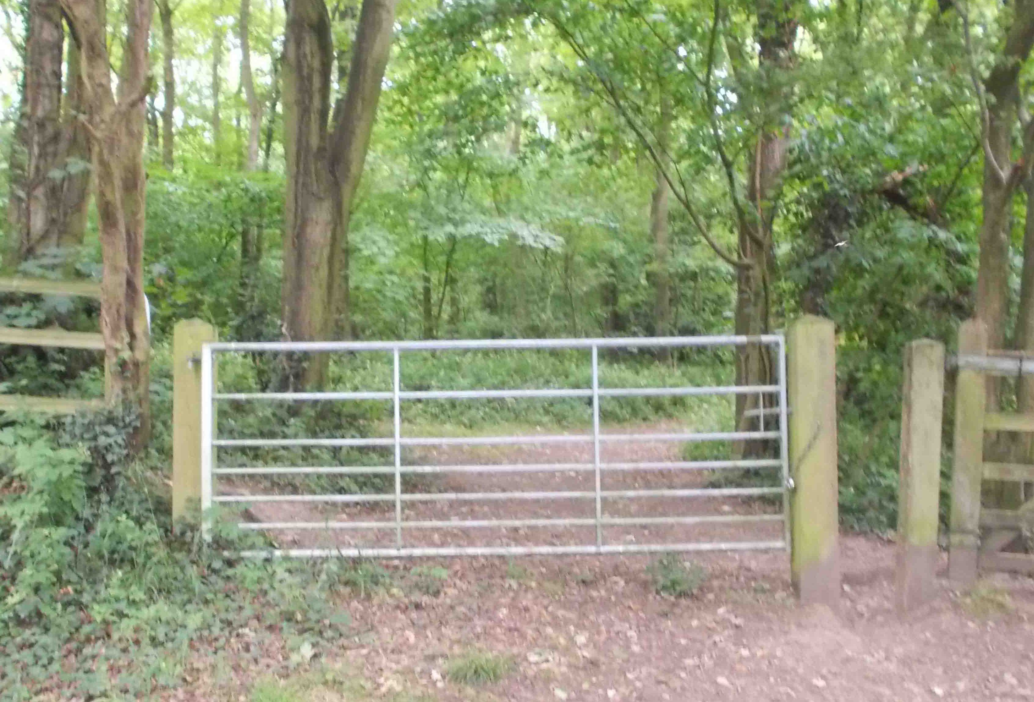
The photo to the right shows a gate leading to Westfield Plantation Standing Aprox: 269ft above sea level GPS co-ordinates 53.33826,-1.36695
|
 |
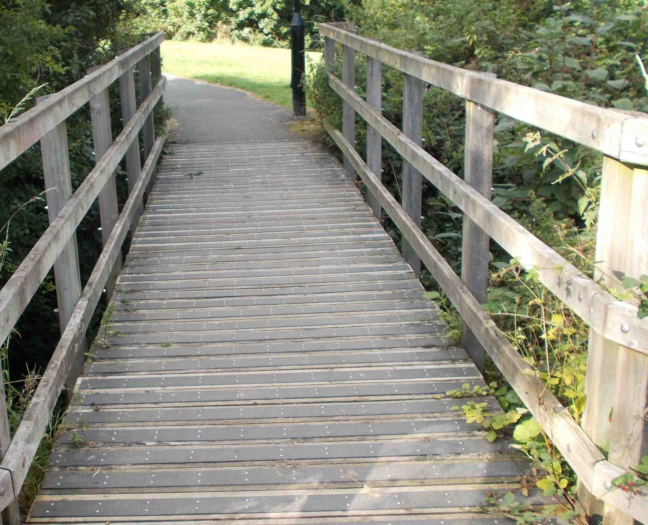 |
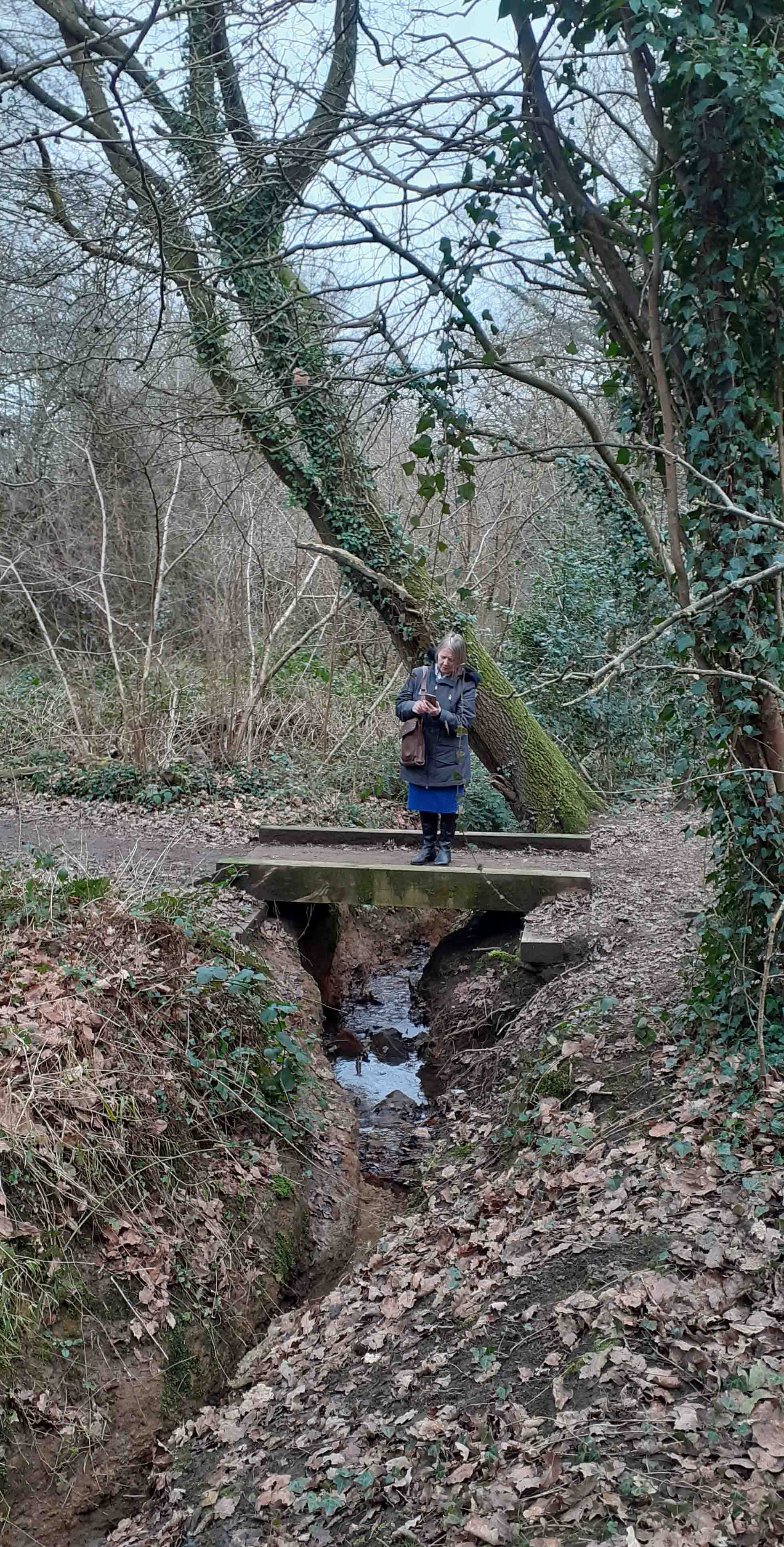
In the photo to the left is one of the bridges over the Ochre Dyke Leading into Westfield Plantation Standing aprox: 230ft above sea level GPS Co-ordinates 53.33984,-1.36427 |
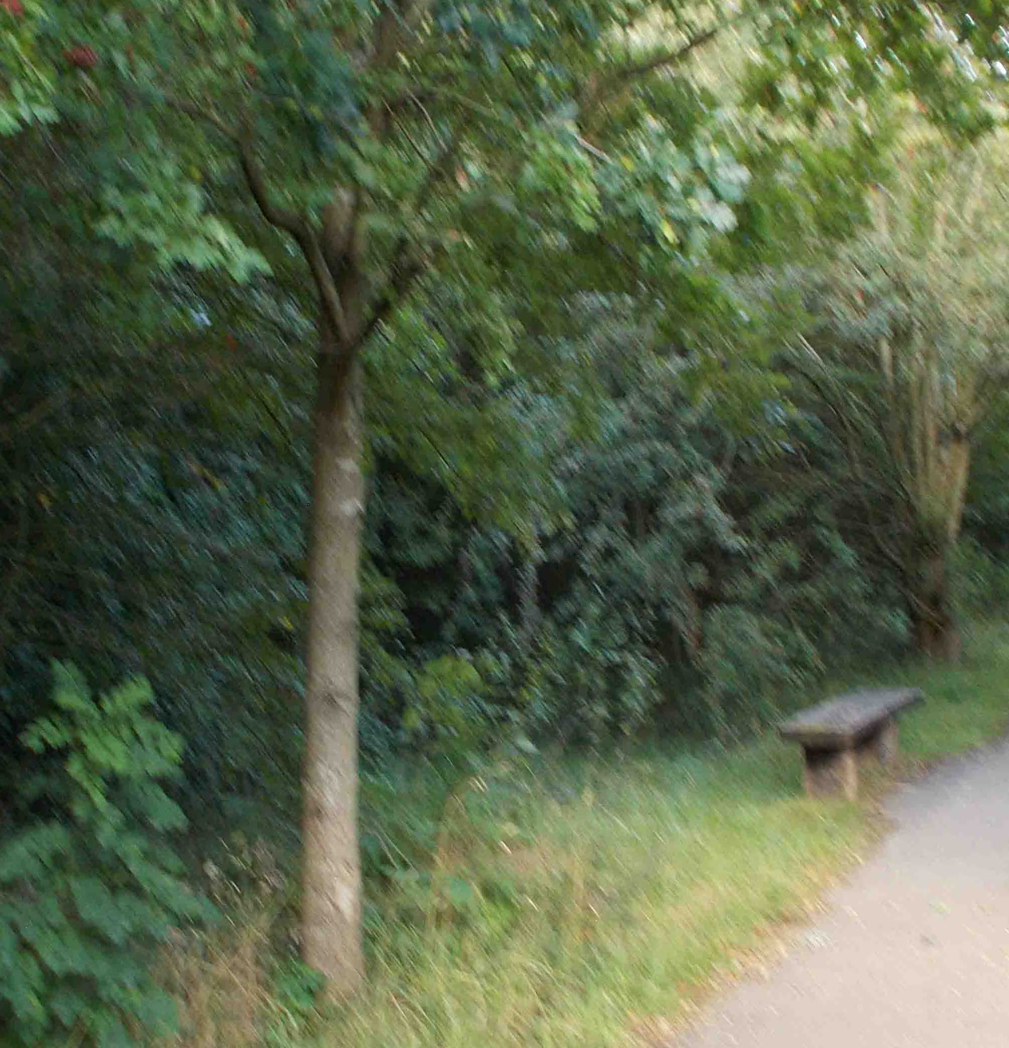
The photo to the right shows a photo taken in Westfield Plantation. You may be able to see the small bench on the public pathwey. Useful after a long walk. Standing aprox: 230ft above sea level GPS Co-ordinates 53.33984,-1.36427
|
|
 |
The Ochre Dyke leaves Ecological Owlthorpe as it passes under Moss Way at the east end of Westfield Plantation. As you can see by the photo to the left the culvert is completely overgrown. Standing Aprox: 207ft above sea level GPS Co-ordinates 53.34005,1.36304 |
Westfield Plantation is surrounded by farmland both to the east and the west. The woodland is mature and is the home to a number of Owls and other birds and wildlife. Public Inquiry Information supporting Ecological Owlthorpe as an upstream nature based solution protecting the environment from downstream flooding. Please read our editorial in the Yorkshire Bylines. Please help save Owlthorpe Heritage & Nature Trail by Signing our petition to Sheffield City Council: https://chng.it/6vXHqcGG4S also, our petition to Parliamentary Ombudsman: https://chng.it/FPc7X4Nq Click here to see a map showing what is at stake:
|
|