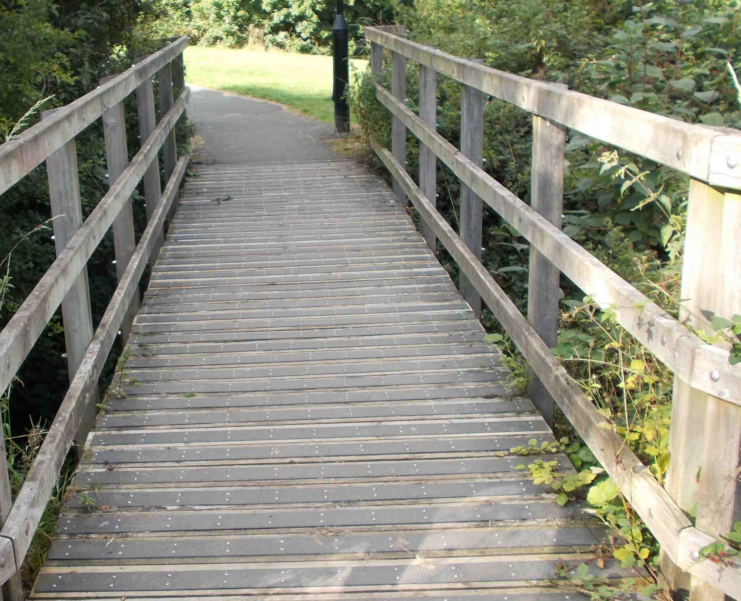
Owlthorpe Forest Settings (Number 10 on the Map) |
|
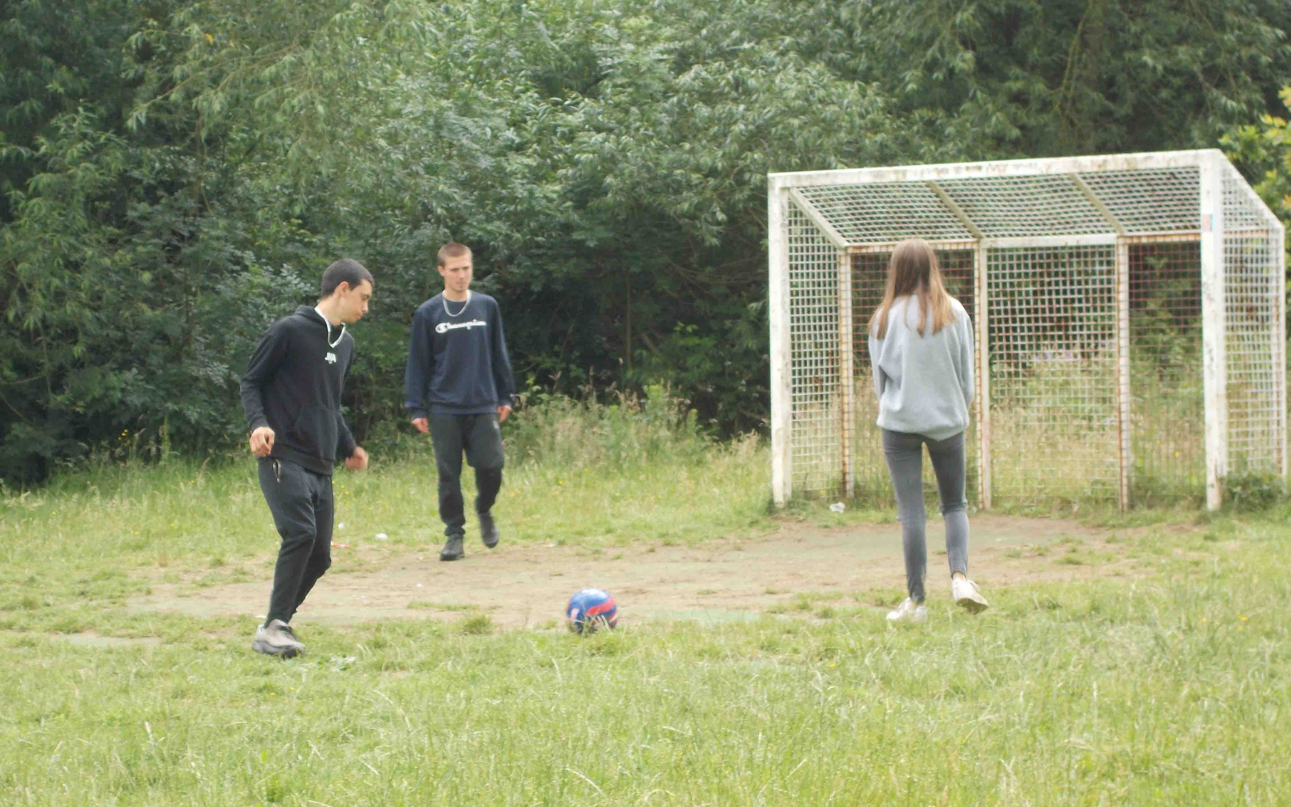
Kids Playing football on the recreation ground situated in Owlthorpe Forest Settings (Photo Taken with permission) Aprox: 266ft above sea level GPS Co-ordinates 53.33951,-1.37062 |
 |
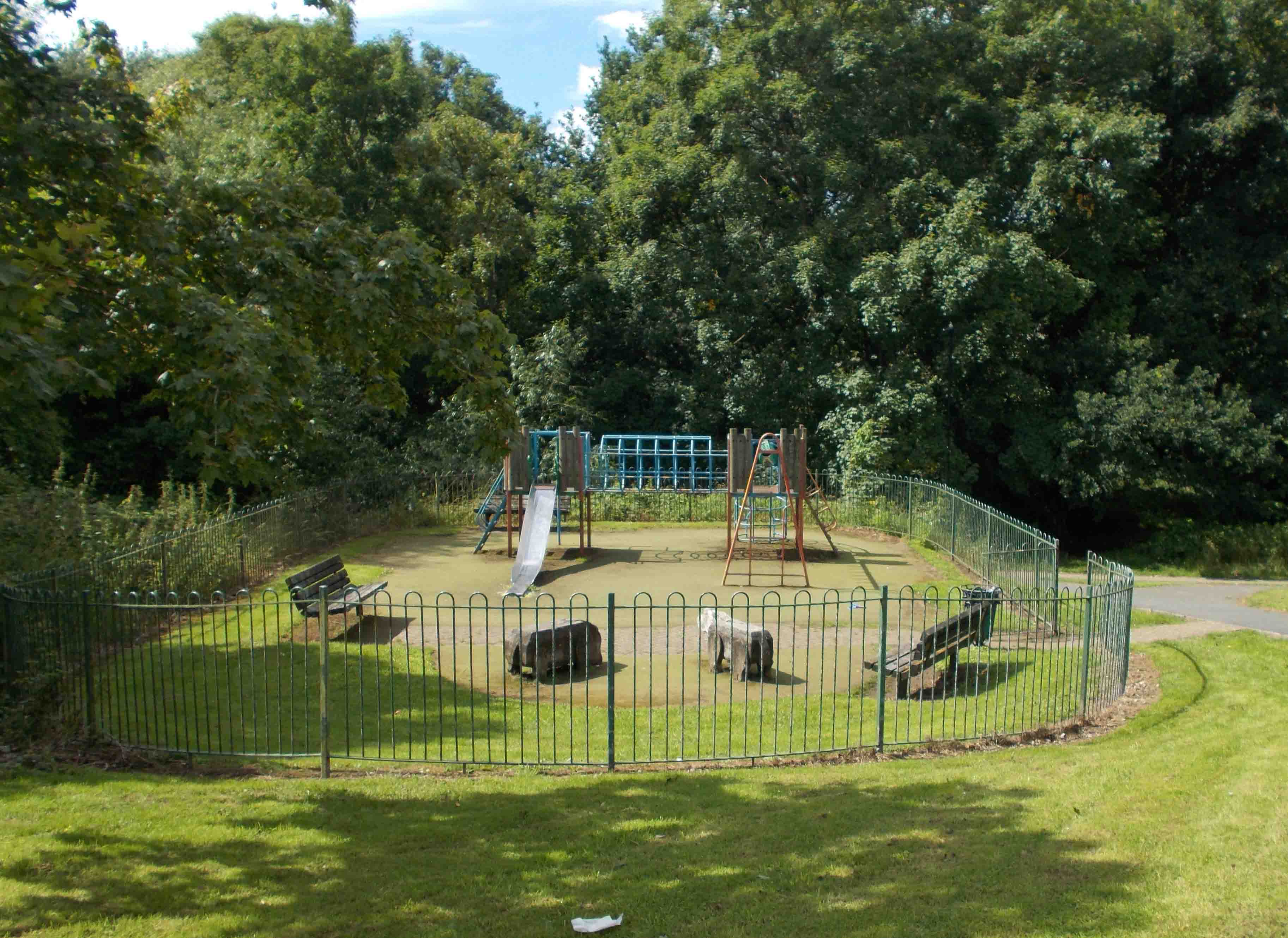 |
The Playground at Edenthorpe Grove is designed for younger childeren. Aprox 253ft above sea level GPS Co-ordinates 53.33942,-1.3691 |
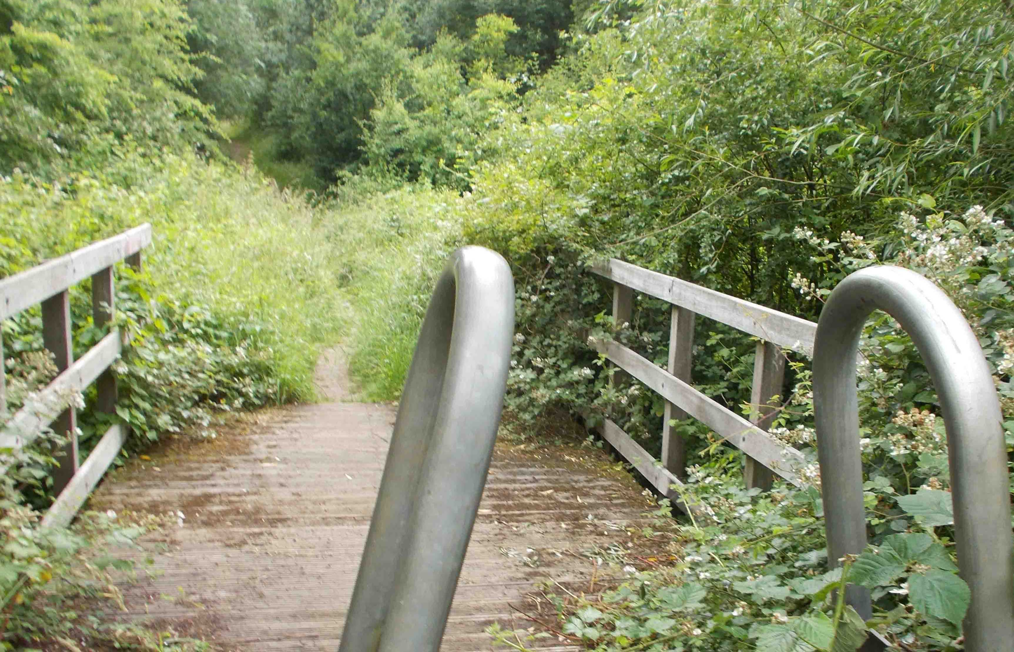
| Owlthorpe Forest settings runs down the south side of Owlthorpe Fields past Owlthorpe Wetlands situated to the North/East. Owlthorpe Forest settings has matured over the years from first planting and is now the habitat of many of the wildlife species found in the area. Over time the trees have extended naturally and now cover much of Owlthorpe Fields. The forest runs down from the Leabrook estate, all the way down to the playground at Edenthorpe Grove. One spur of the Ochre dyke runs through Owlthorpe Forest Settings and meets up with the main stream of the Ochre Dyke at Edenthorpe Grove. The Ochre Dyke then carries on through Westfield Plantation. Public Inquiry Information supporting Ecological Owlthorpe as an upstream nature based solution protecting the environment from downstream flooding. Please read our editorial in the Yorkshire Bylines. Please help save Owlthorpe Heritage & Nature Trail by Signing our petition to Sheffield City Council: https://chng.it/6vXHqcGG4S also, our petition to Parliamentary Ombudsman: https://chng.it/FPc7X4Nq Click here to see a map showing what is at stake:
|
|