Owlthorpe Wetlands
|
|
Owlthorpe Wetlands Approx: 260-ft above sea level GPS Co-ordinates 53.33997,-1.37005 The Owlthorpe Wetlands was created as part of the overall project to support and enhance the ecology of Owlthorpe. 795 Local School Children have been involved in the complete project that provides environmental education to raise awarness and enjoymant of the local country side |
|
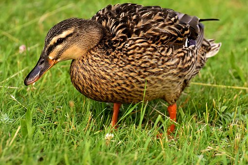
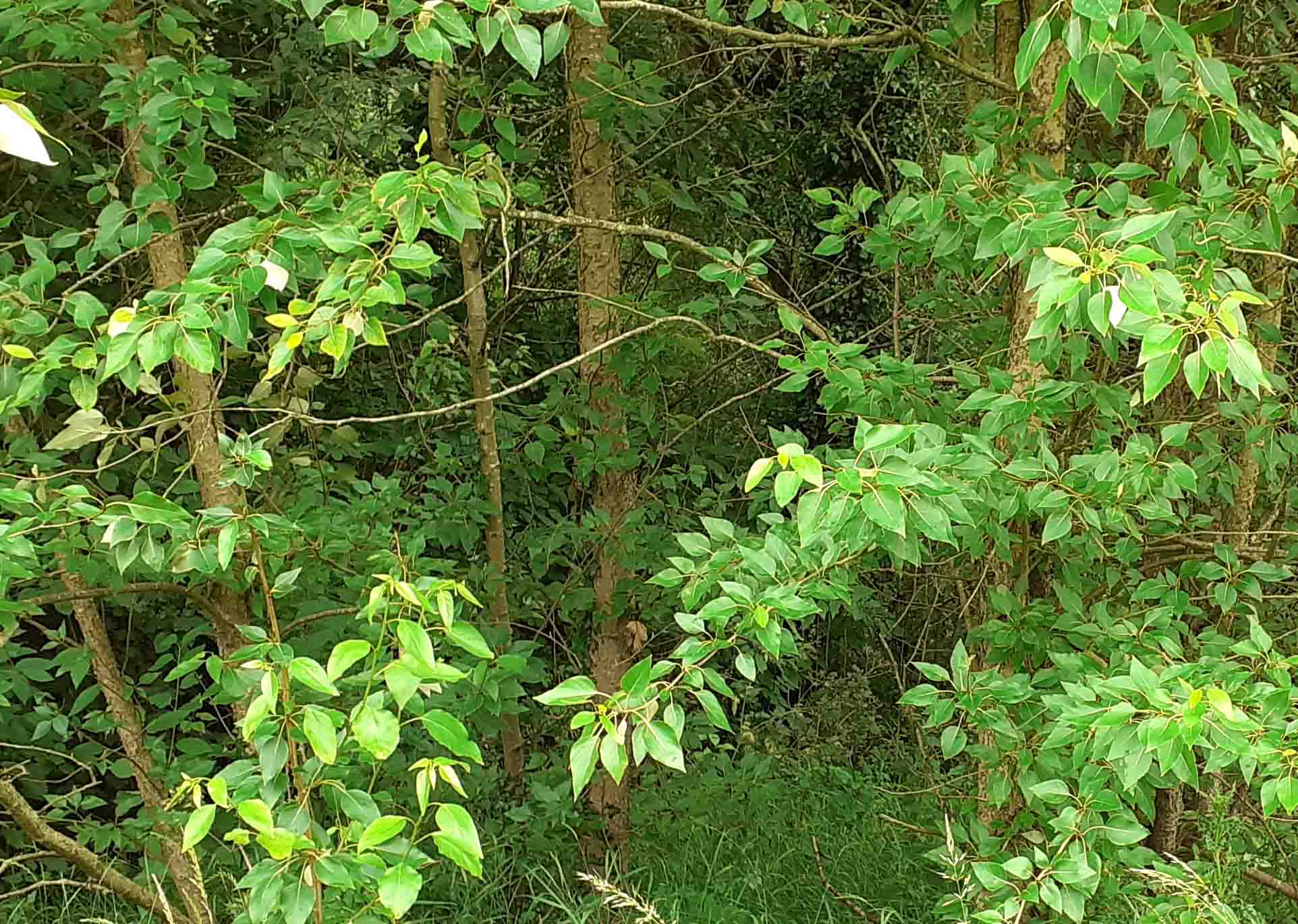
As you can see in photo to the left, in the Summer Owlthorpe Wetlands are completely overgrown with vegetation, but in the winter the area floods and overflows into the Ochre Dyke. Owlthorpe Wetlands remain boggy throughout most of the year and is home to many water cretures. |
 |
|
|
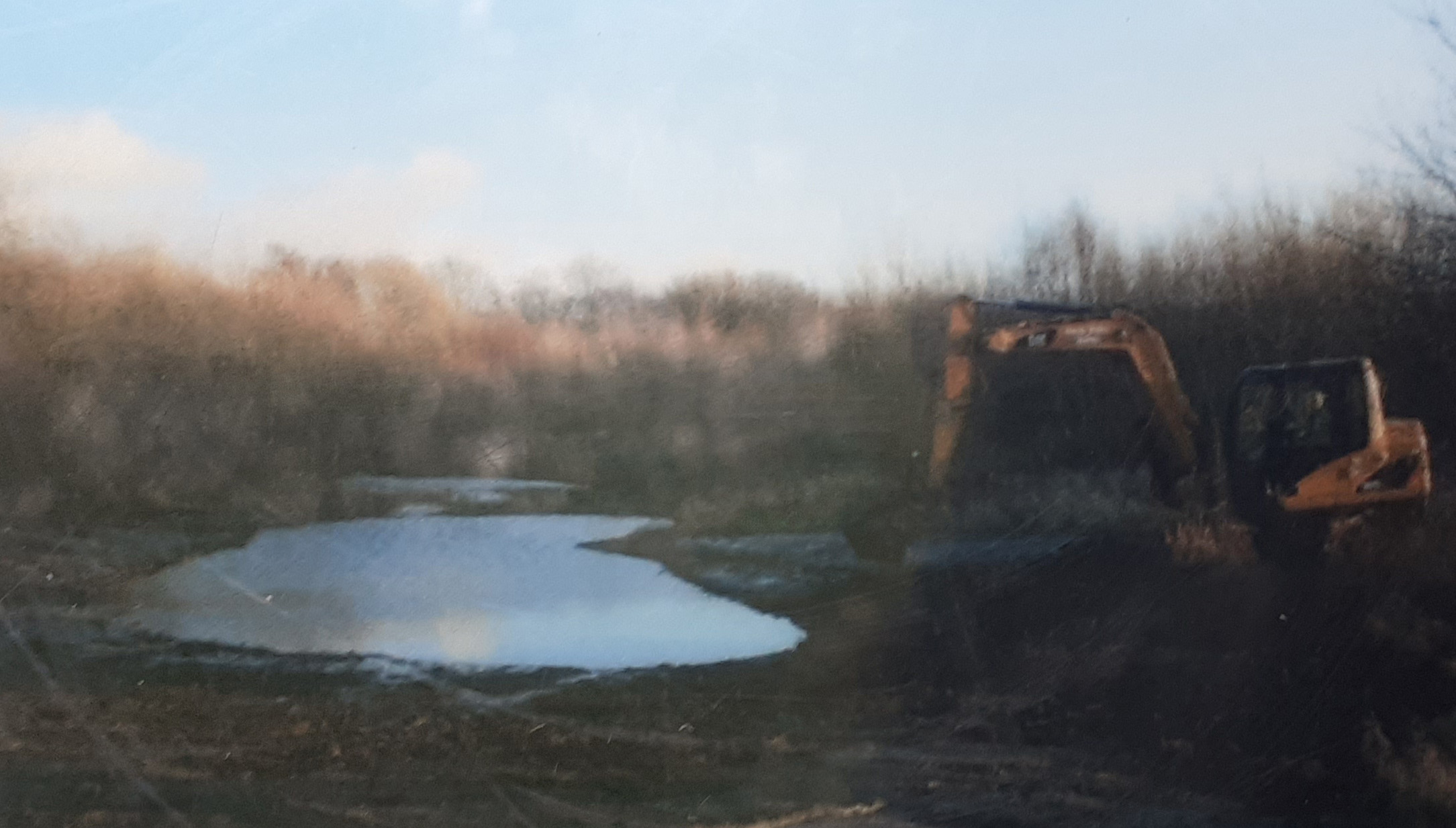
------------------------------------------------------------------------------------------------ Conservation work is been undertaken on the pond by Owlthorpe Fields Conservation Group ---------------------------------------------------------------------------------------------------- (Number 12 on the Map) The image below shows Owlthorpe Wetlands as they were when first created.
----------------------------------------------------------------------------------------------------------- Please help save Owlthorpe Heritage & Nature Trail by Signing our petition to Sheffield City Council: https://chng.it/6vXHqcGG4S also, our petition to Parliamentary Ombudsman: https://chng.it/FPc7X4Nq Click here to see a map showing what is at stake:
|
|